
South from Boscastle.
Start. Boscastle.
Route. Boscastle - Willapark - Ladies Window - Firebeacon Hill - Ladies Window - Forrabury Stitches - St Symphorian's - New Road - Boscastle.
Notes. Like many of you out there I'd never heard of Boscastle and probably never would of, if it hadn't been for the events on the 16th August 2004. Converging storms over the moors above the village dumped 17 inches of water on bone dry ground over 5½ hours, river levels rose by over 6ft in one hour, a wall of water 10ft high thundered at 40mph through the village forcing the biggest UK peacetime evacuation ever, the scenes of devastation made headlines all over the world. It was strange watching the events unfold on the flat screen TV in the newly re-built Visitors Centre. Within 12 months Boscastle was back in business, and is as beautiful today as it ever was albeit looking a bit like a new build, it needs weathering a little, forgive the pun.
It wasn't a macabre interest in other peoples misfortune that brought us to Boscastle, far from it, it was a feature Sue spotted on the map named Ladies Window, Boscastle looked an ideal starting point. From the main car park we descended to the small harbour before rounding the point to ascend Willapark, a defensive site since Iron Age times. From the Lookout Station the path ran south, above precipitous cliffs, some steep ups and downs followed before we reached Ladies Window, we stepped through the window onto what I can only describe as the best brew stop ever.
A quick brew and a look at the map followed, it was difficult to plot a route back without some rather long sections of tarmac. In the Lakes and Dales, even Scotland this wouldn't normally be a problem but this is North Cornwall, the narrow lanes are sunk, with high grass banks topped with hedgerow, with this in mind we decided to re-trace our steps as far as Forrabury Stitches, the last remaining examples of medieval strip fields in the country. We then visited the 15th century church of St Symphorian before descending a short stretch of tarmac back into Boscastle.

Meandering through Boscastle, we're visiting as many shops as possible before ascending the cliffs, well Sue is.
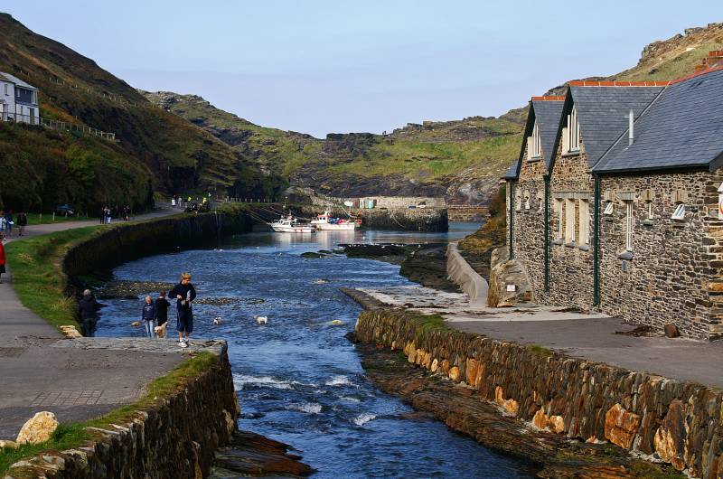
Looking to the harbour, built in 1584 by Sir Richard Grenville to allow the import of limestone and coal, and the export of slate.
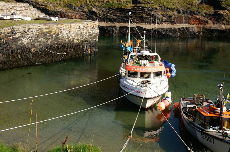
The small harbour home to a few boats today, on August 16th 2004 they were forced to share it with 80% of the cars from the public car park.
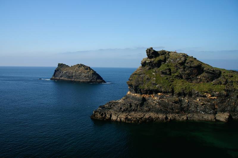
Seen from the ascent to Willapack, Meachard and Penally Point.

Meachard and Penally Point mark the entrance to Boscastle Harbour.
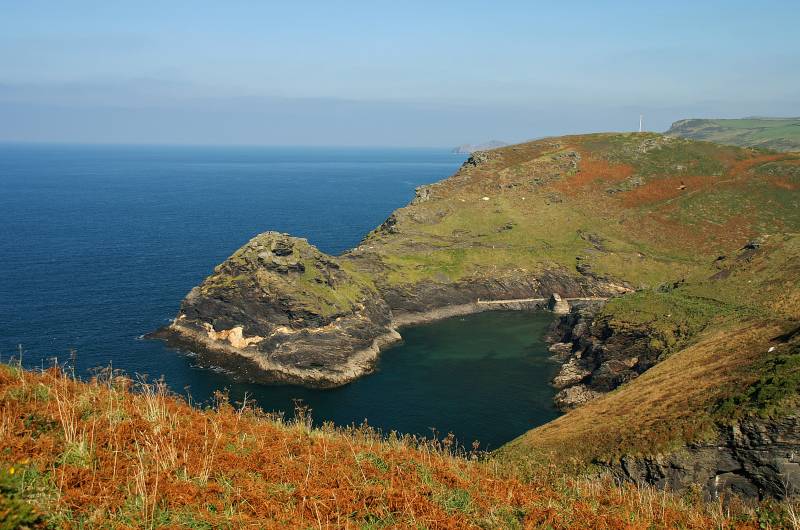
The narrow entrance to Boscastle Harbour, seen from Willapack.
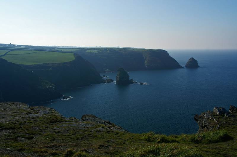
The wonderful view south over Western Blackapit and Grower Gut.
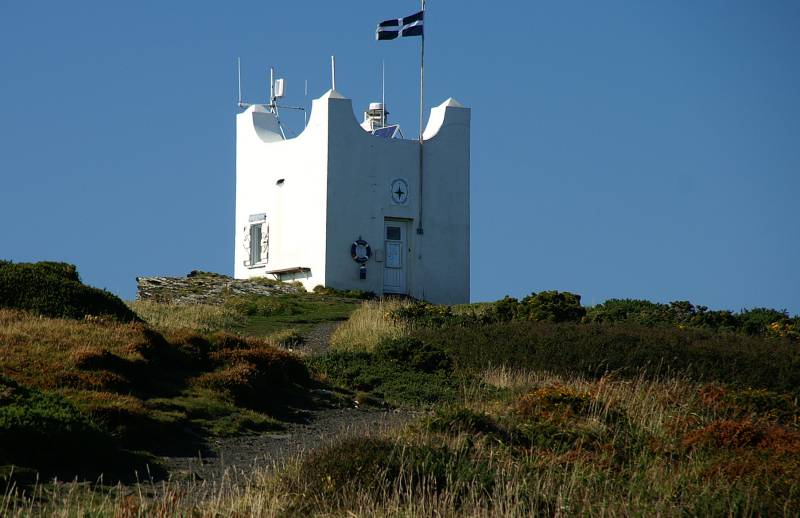
The National Coastwatch lookout station Boscastle, manned by volunteers 365 days a year, watching for people in trouble on the coastal paths and inshore waters.
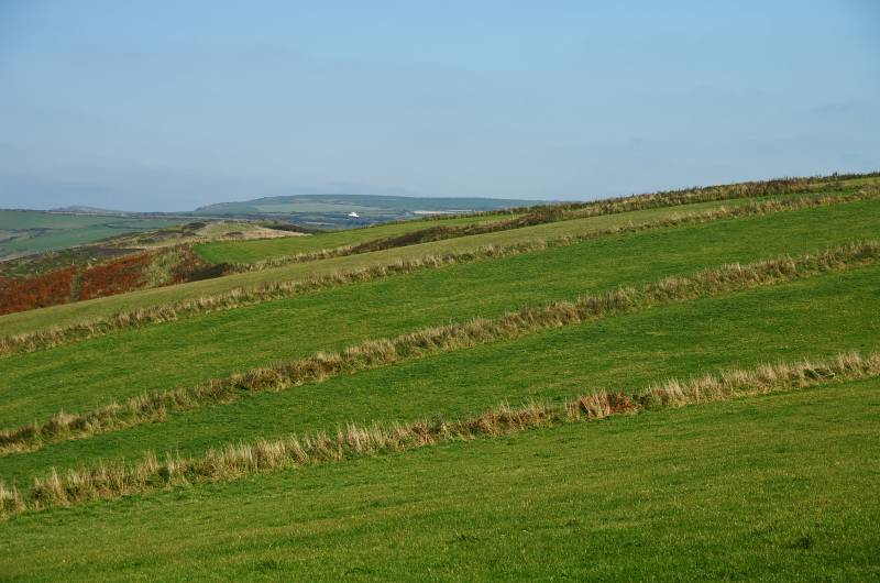
Forrabury Stitches, medieval strip fields, some of the best examples in the country.
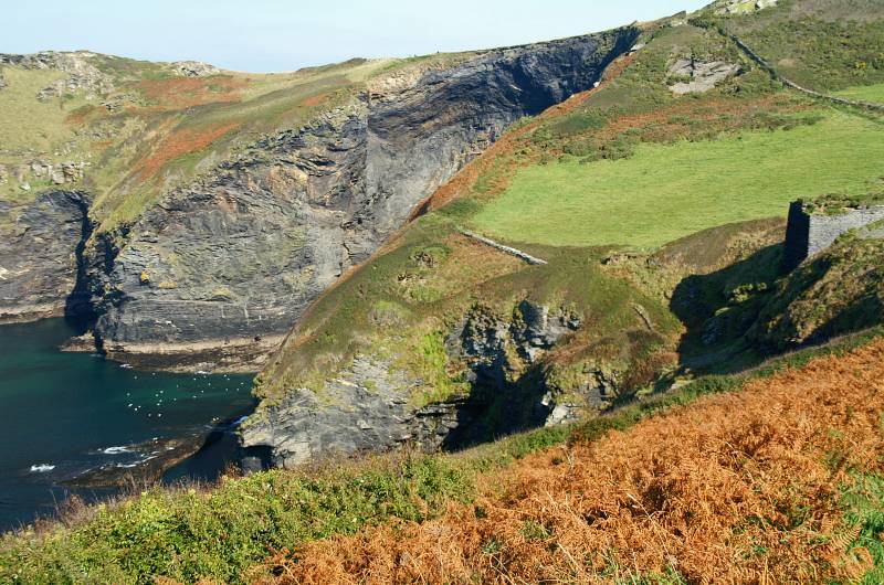
Above Western Blackapit, I believe the stone structure on the right clinging to the cliff top is all that remains of the California Quarry.

Rising from Western Blackapit the headland of Willapark with the lookout just visible adorning the summit.
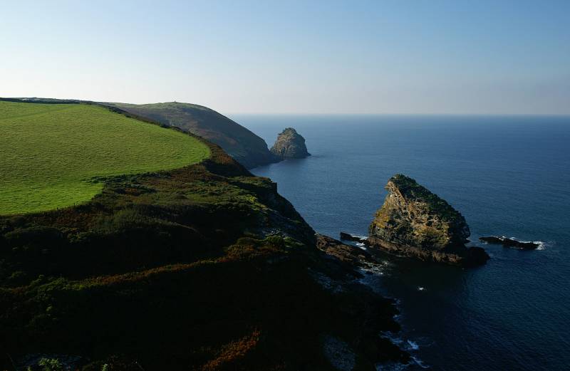
Looking down on Grower Gut.
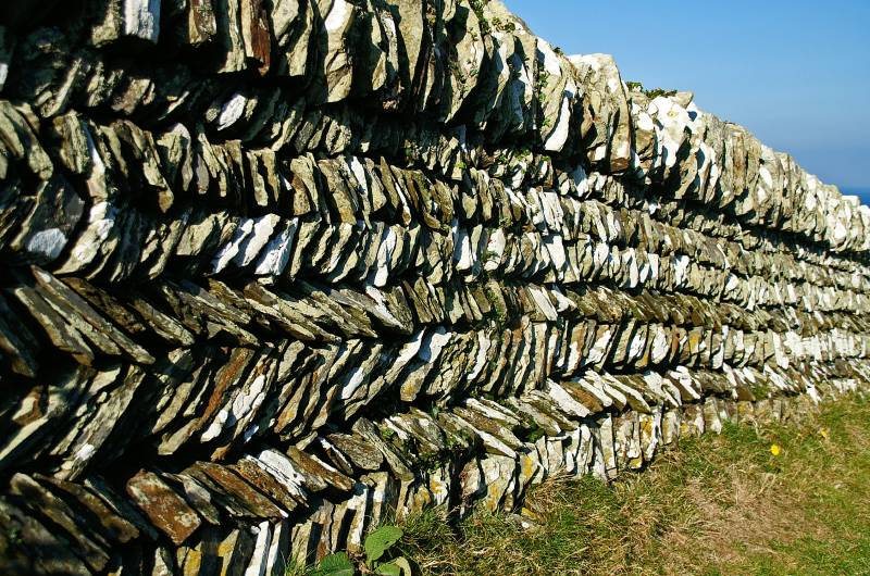
Here we have a traditional Cornish dry stone wall.
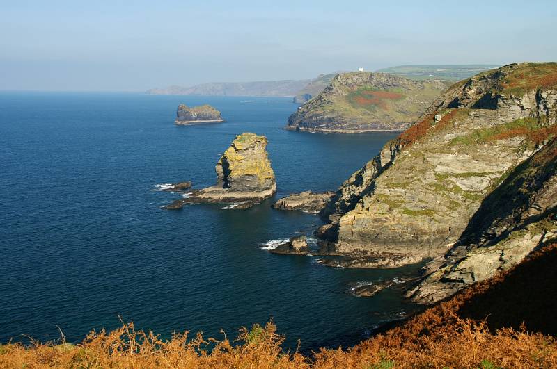
The dramatic rock scenery along the North Cornwall coast, in the foreground Grower Rock stands detached from the headland with Meachard marking the entrance to Boscastle Harbour behind.
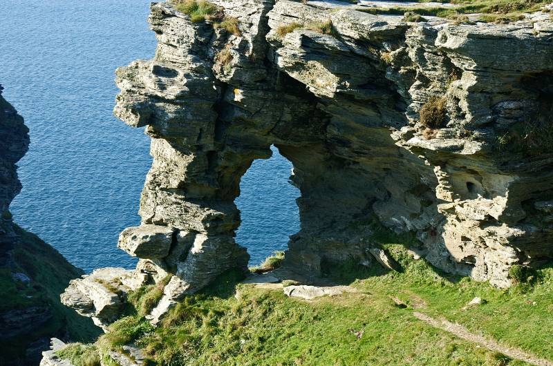
Step through the Ladies Window to find....
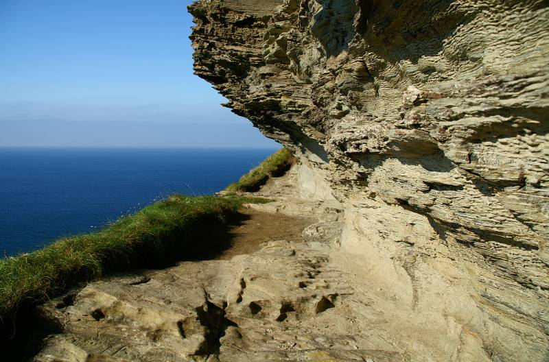
....the best coffee stop on the North Cornwall coast, it even comes with a roof incase of rain.
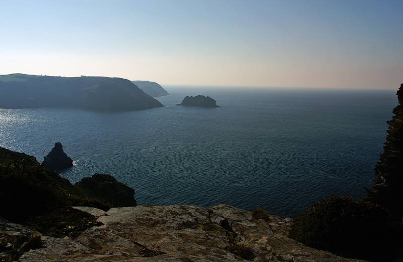
On Firebeacon Hill looking to another Willapark, this one is guarded by The Sisters.
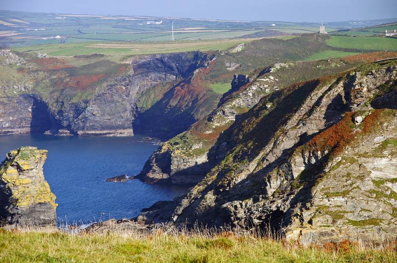
An impressive view taken from near the Ladies Window.
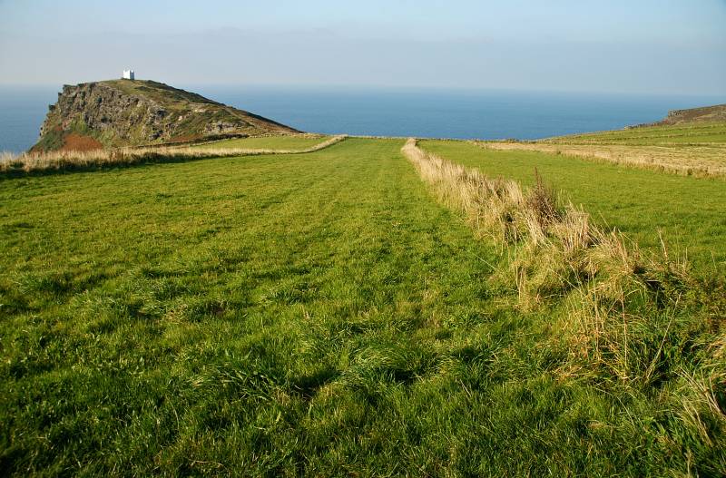
Viewing the lookout on Willapark across the parallel fields known as Forrabury Stitches.
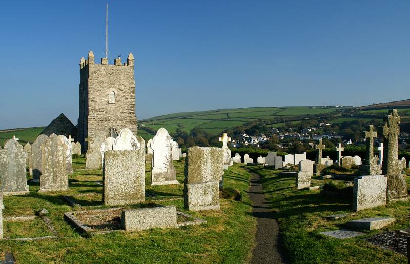
The sign on the gate said welcome to Gods holy acre, St Symphorian's Church dates back to the 15th century.
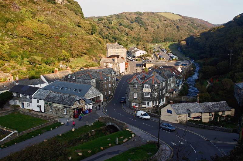
Boscastle in all it's splendour seen from New Road.